Home Route Directory Grossglockner Wild Atlantic Way Stelvio Pass Route des Grandes Alpes Romantic Road Vehicle Preparation Contact
Continental Catalog

The Complete European Route Directory

Verified route dossiers covering alpine passes, rugged coastal highways, and historical grand touring loops across Europe.

Showing 5 of 5 verified driving routes

No Matching Routes Found

No driving itineraries match your specific filter criteria. Adjust your keyword or clear the active search parameters.

Grossglockner High Alpine Road mountain pass in Austrian Alps Austria • Alpine
Distance 48 km
Elevation Peak 2,504 m
Drive Time 3.5 Hours
Difficulty Challenging

Grossglockner High Alpine Road (Großglockner-Hochalpenstraße)

Austria’s premier high mountain pass connecting Salzburg and Carinthia. Includes the Edelweißspitze lookout, Franz-Josefs-Höhe glacier viewpoint, and 36 sweeping numbered turns.
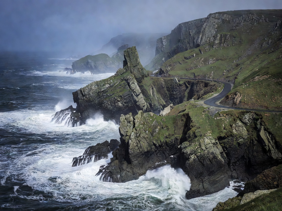
Wild Atlantic Way coastal road along Irish cliffs Ireland • Atlantic Coastal
Distance 2,500 km
Elevation Peak 456 m
Drive Time 12 Days
Difficulty Moderate

Wild Atlantic Way: The Rugged Western Seaboard

The definitive Atlantic coastal journey covering Ireland's dramatic coastline, including Slieve League, the Burren, Cliffs of Moher, Dingle Peninsula, and the Ring of Beara.

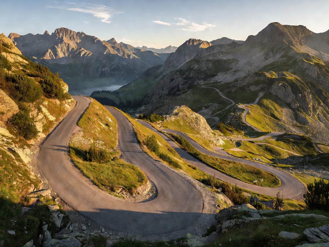
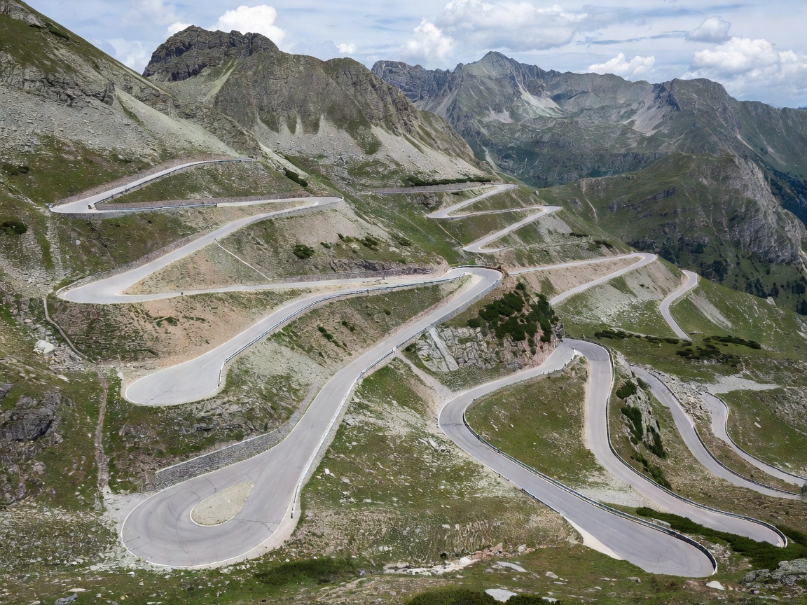
Stelvio Pass tight zig-zag hairpins in Northern Italy Italy • Alpine Extreme
Distance 46.8 km
Elevation Peak 2,757 m
Hairpin Turns 48 Turns
Difficulty Extreme

Passo dello Stelvio (Stelvio Pass): The Wall of Switchbacks

Revered as one of the ultimate driving challenges on earth, the Eastern Alps pass ascends from Trafoi up 48 numbered hairpins carved into pure granite rock face, crowning at the second highest paved pass in the Alps.

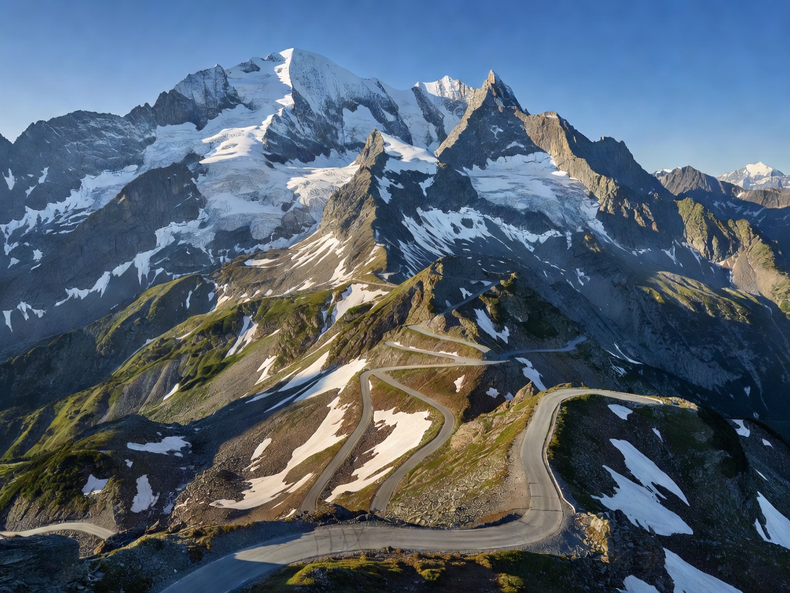
Route des Grandes Alpes French mountain pass road France • Alpine Grand Tour
Distance 720 km
Elevation Peak 2,770 m
Drive Time 4–5 Days
Difficulty Challenging

Route des Grandes Alpes: Lake Geneva to Nice

Traversing 17 legendary Alpine passes from Thonon-les-Bains to Menton on the French Riviera, including Col de l'Iseran, Col du Galibier, and Col de la Bonette.

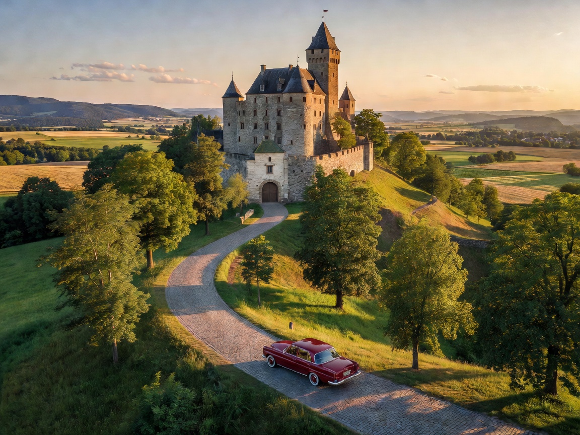
Romantic Road Bavaria historic German castle road Germany • Cultural Touring
Distance 460 km
Elevation Peak 800 m
Drive Time 3–4 Days
Difficulty Easy / GT

Romantische Straße (The Romantic Road)

Scenic route winding through the heart of Bavaria from Würzburg to Füssen at the base of the Bavarian Alps, connecting medieval towns, Rothenburg ob der Tauber, and Neuschwanstein Castle.