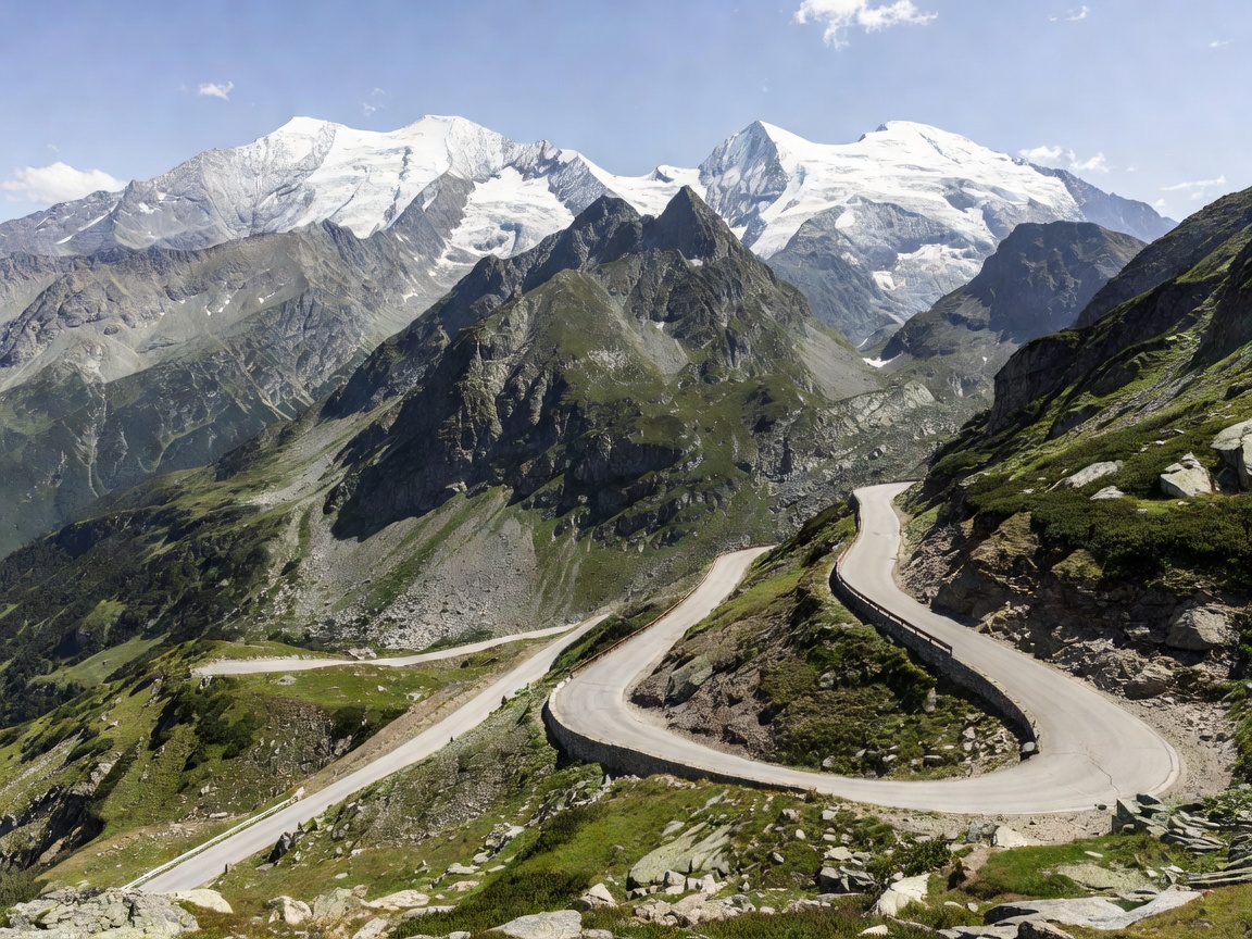
Route Overview & Engineering Heritage
Opened to vehicular traffic on August 3, 1935, the Grossglockner High Alpine Road remains the pinnacle of Austrian mountain touring. Engineered by Franz Wallack during the Great Depression, the road was purposely designed not merely as a direct transit link, but as an aesthetic touring experience designed to showcase the dramatic Hohe Tauern mountain range and Austria's highest peak, the Grossglockner (3,798 m).
The road encompasses 48 kilometers of wide, exceptionally well-maintained tarmac with gentle cambers and a maximum gradient capped strictly at 12%, making it one of the most accessible high-altitude passes in Europe for performance sports cars, grand tourers, and classic vehicles alike.
Key Driver Recommendation
Tackle the ascent from the northern toll gate at Ferleiten before 07:30 AM. Between 08:30 AM and 04:30 PM in July and August, campervans and tourist tour buses significantly slow traffic through the upper switchbacks.
Section Breakdown & Crucial Waypoints
1. The Northern Ascent: Ferleiten to Fuscher Törl
Passing through the Ferleiten toll gates (1,151 m), the ascent begins immediately through alpine meadows before climbing steeply through forested switchbacks. The surface transition from asphalt to reinforced stone walling signals the start of the numbered hairpins (Kehre 1 to Kehre 14).
- Piffkar Layby (1,620 m): Features a dedicated nature trail and parking bay to inspect vehicle coolant temperatures.
- Fuscher Törl (2,428 m): The first major summit pass offering 360-degree views back down the Fusch Valley.
2. The Cobblestone Spur: Edelweißspitze (2,571 m)
Just past Fuscher Törl lies a narrow, single-lane cobblestone branch road leading up six tight switchbacks to the Edelweißspitze. This is the highest driveable point of the entire pass. The vantage point at the summit Bikers Point pavilion provides uninhibited views of over 30 distinct Alpine peaks exceeding 3,000 meters.
3. Hochtor Tunnel & Provincial Crossing (2,504 m)
The historical high point of the main road is the Hochtor Tunnel. Dating back to Roman trading routes across the Alps, crossing through this 311-meter arched rock tunnel marks the official border between the Federal State of Salzburg and Carinthia. Weather conditions often shift dramatically on either side of the tunnel.
4. Glacier Lookout: Kaiser-Franz-Josefs-Höhe (2,369 m)
A dedicated 8.7-kilometer spur road branches off at Guttal towards the Kaiser-Franz-Josefs-Höhe visitor complex. Built directly across from the glaciated north face of the Grossglockner and the Pasterze Glacier tongue, this stop includes an extensive multi-level parking structure, visitor center, Alpine art exhibitions, and colonies of wild Alpine marmots (Alpenmurmeltiere).
Vehicle Dynamics & Safety Protocols
Descending 1,200 vertical meters into Heiligenblut requires disciplined engine braking. Drivers of modern automatic transmissions must manually select lower gear ratios (M2 or M3) to prevent thermal rotor saturation. If pedal travel softens or brake odor is detected, immediately pull into one of the designated brake cooldown bays situated along every major hairpin sector.